Navigation
beyond GPS.
Visual navigation for uncrewed air and ground platforms. A single passive camera carries the positioning: nothing to jam, nothing to spoof, nothing to intercept. Real time on low-cost embedded hardware.
GPS denied? The system was never depending on it.
Vision leads. Position is solved on board from camera and IMU. Satellite fixes sharpen the estimate when present and drop away without loss of track.
Navigation that holds where vision breaks.
Darkness, glare, motion blur, snow, low-texture terrain. A learned visual front end keeps tracking through the conditions that defeat conventional pipelines. Zero tracking loss on EuRoC.
Software where others need hardware.
The full stack runs at 78 FPS in roughly 15 W on a Jetson Orin Nano with commodity global-shutter cameras. No lidar, no radar, no RTK required.
Positioning that survives the real world.
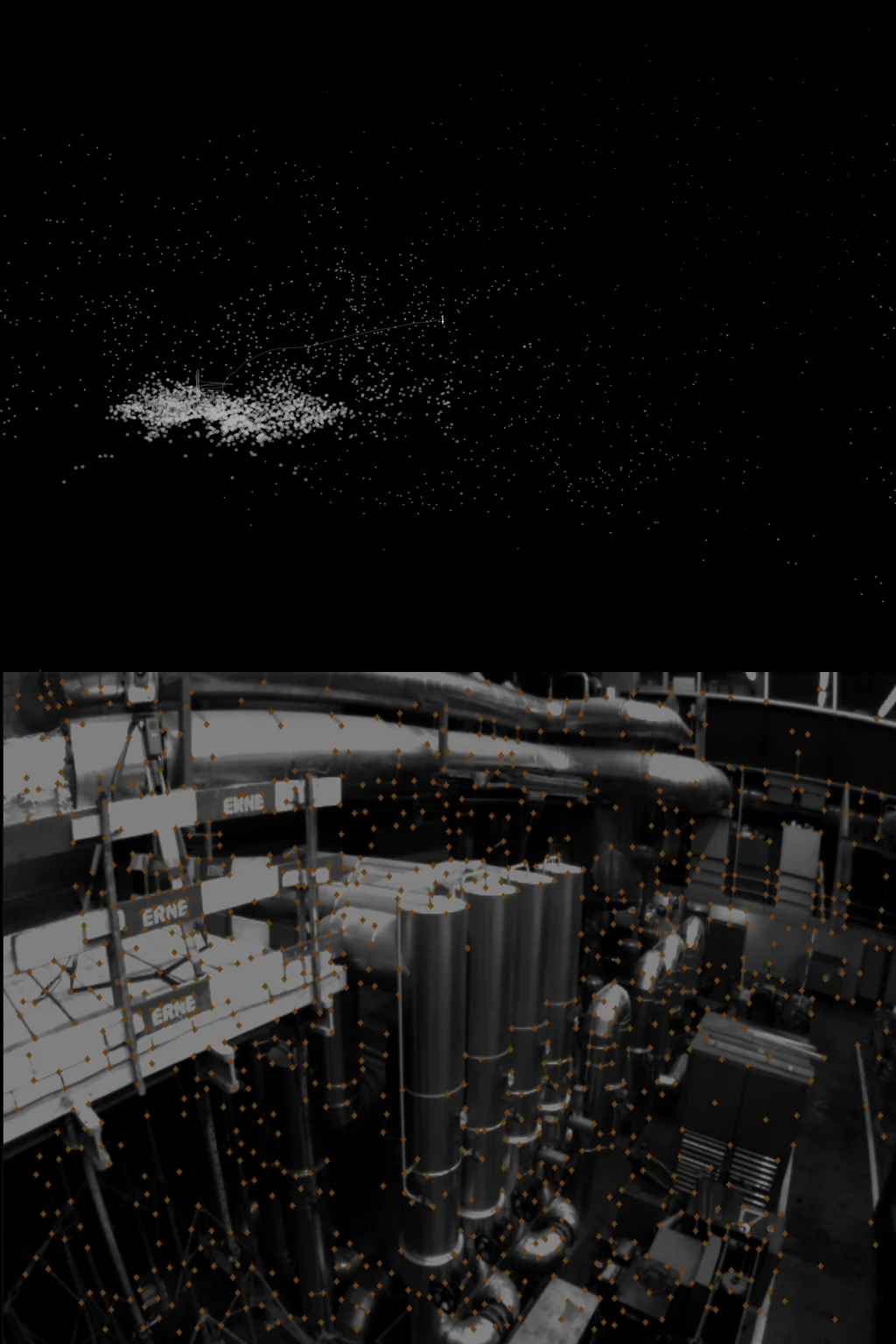
Position is vision-led SLAM built for the conditions that break traditional systems: heavy motion blur, dynamic lighting, snow, fog, low-texture terrain. 3-7 cm accuracy and zero tracking loss on EuRoC, at 78 frames per second on a Jetson Orin Nano.
Explore Position →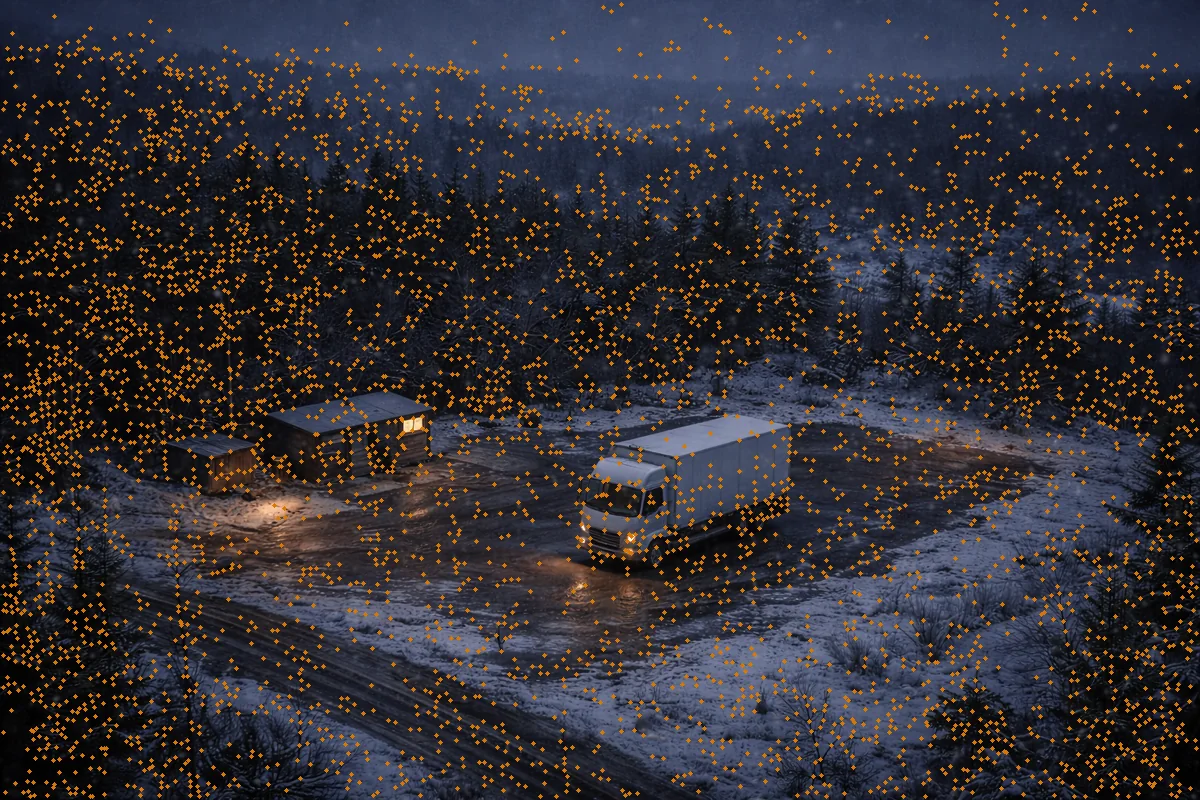
One backbone. Every task.
IRIS turns each camera frame into keypoints, depth, segmentation, and detections in a single 10 ms forward pass. Grid assembles them into a probabilistic world model the navigation stack plans against. All on board, all in real time.
Explore the stack →Watch it hold.
Raw output from the visual front end on the EuRoC MAV benchmark: keypoint tracking through aggressive flight in a cluttered industrial interior, with the processing time of every frame plotted as it happens. Per-frame cost scales with how hard the platform is moving, so the effective rate here follows this sequence's motion rather than the stack's peak benchmark throughput.
Navigate where GPS
can't follow.
Evaluate the navigation stack on your own hardware, with your own data.